In March, 2010
Eyjafjallajökull (Island mountain glacier) located in Southern Iceland between
Skógar and
Mýrdalsjökull began to erupt. The first part of the eruption happened in
Fimmvörðuháls, the area of a popular hiking route from Skógar to
Thórsmörk, which was then proceeded by a much more violent
eruption at the top of the volcano, beneath the glacier. This second eruption caused massive
floodwater to pour down the side of the volcano causing over 800 people (In Iceland that's a ton.) to be evacuated and left a path of destruction in it's wake. One of Iceland's most popular
Glacial lagoons was destroyed, and air traffic in much of Europe was halted for multiple days.
 |
| Flat. |
Although it's been four years since the eruption, most of the destruction is still visible and some of the lava, spewed out from the volcanic fissures, still lies smoking on the side of the volcano. Lucky for us, the hiking trail that leads over Fimmvörðuháls has since been opened and hikers can travel the route and see the cooling lava and the new mountains formed from the volcanic eruption.
Early on in the planning I had booked a night at the
Volcano Huts in Thórsmörk but since I didn't know the weather conditions across the mountain pass in May, I held off planning the actual hike.
 |
| Into the Valley. |
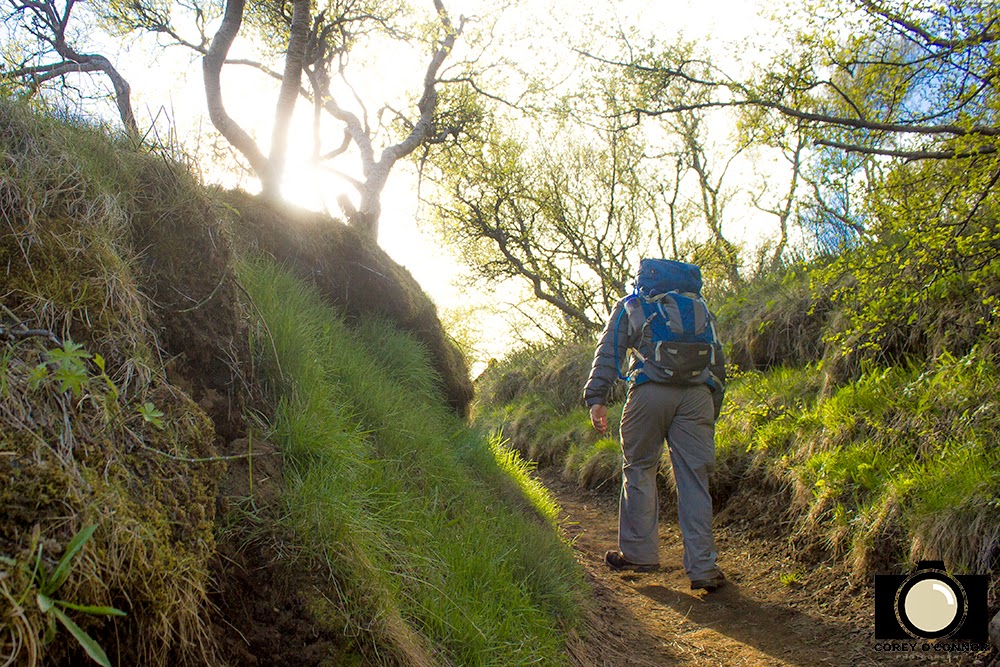
Upon arrival in Iceland it became pretty evident that the Fimmvörðuháls pass wouldn't be safely passable for at least another month. I was bummed, but I knew any portion of the hike that we could do would still be spectacular. So on our fourth day in Iceland we boarded an off-road bus and took the hour long journey into Thórsmörk, crossing dozens of streams and passing by multiple glacier tongues until we finally made our way into the uncommonly wooded valley that is Thórsmörk.
 |
| Conquest. |
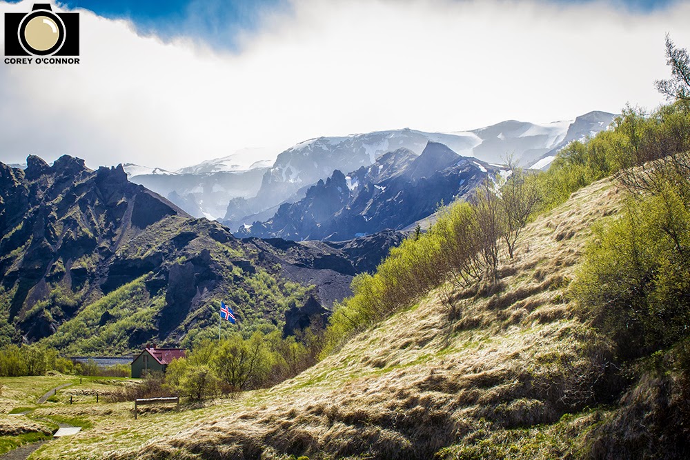
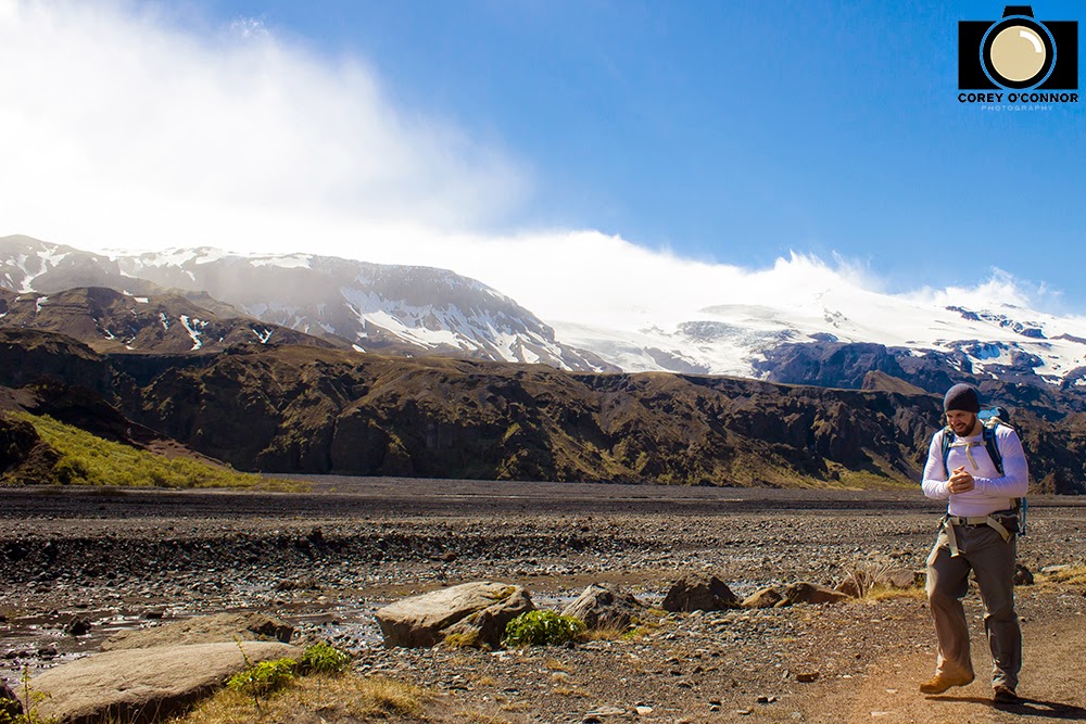
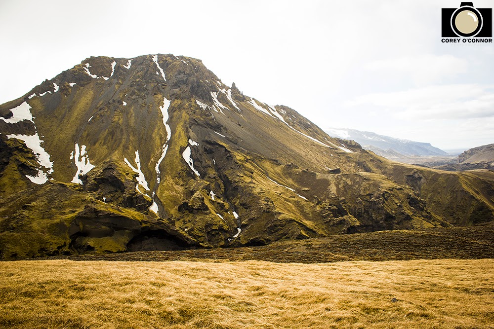
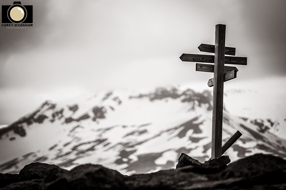
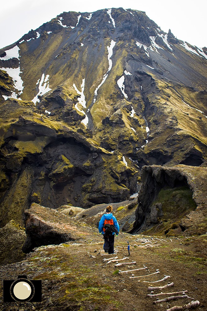
After a quick discussion with the caretaker/guide at our hut we set out on a hike that would take us up onto the beginning of the Fimmvörðuháls pass, hopefully far enough to see some of the steaming lava. The first section of the trail was wooded and we crossed a few small brooks before emerging into a large field, which rested up against an even larger flood plain, framed by glacial capped mountains. If this scene wasn't enough, there was a small hut adorned with an Icelandic flag as if to proclaim the panoramic it's own.
 |
| Outpost. |
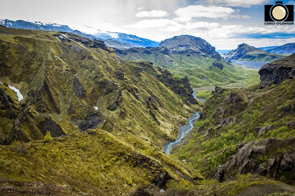
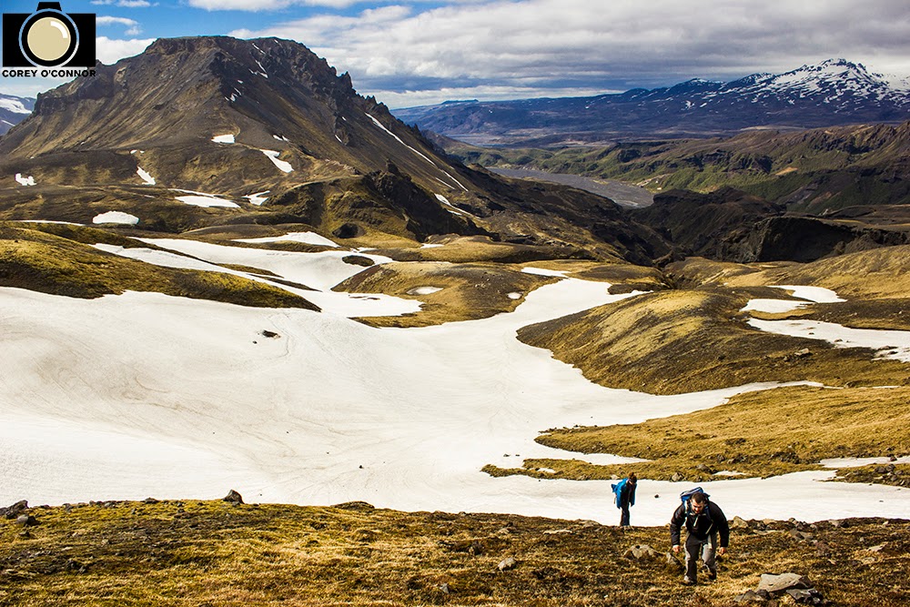
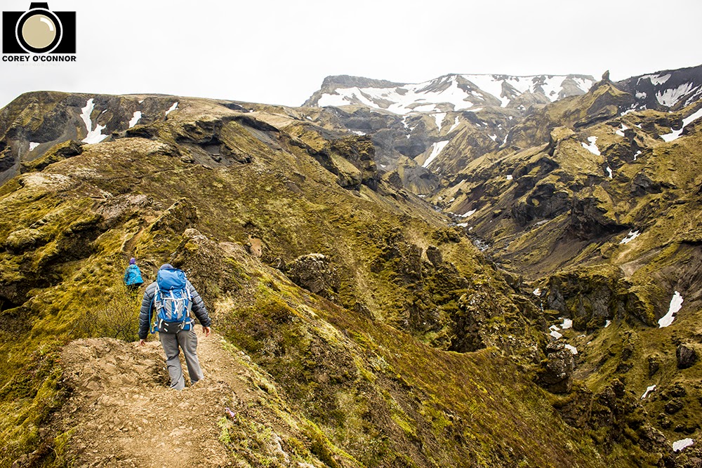
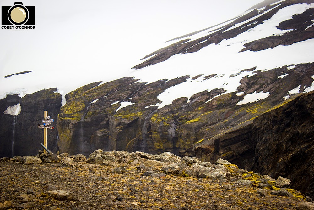
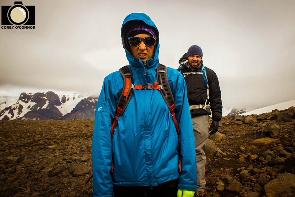
The next section of the hike led us across the massive, rocky flood plan, which no doubt was completely covered in rushing water after the 2010 eruption. At the edge of this rocky desert was a mobile bridge situated across what was currently the river running through it. We crossed it and slowly made our way to the base of the snow capped mountains on the opposite side of the valley from where we originated. We began our accent up the side of the mountain and were quickly greeted by patches of snow. It was at this point that we saw a hiker headed in the opposite direction. This was the only other person we would see the entire day, on a hike as epic, if not more so than any other i've done in some of the best National Parks America has to offer. One person all damn day. The solitude was unbelievable.
 |
| Solitude. |
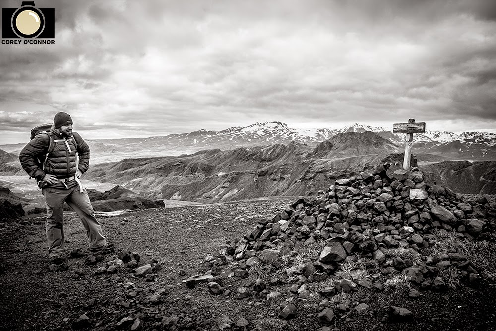
After a couple of quick questions and a scolding over having proper maps, we were told by the hiker that farther up the trail led into the clouds and there was currently white out blizzard conditions. This pretty much snuffed out any hope we had of making it to the newest mountains in the world,
Móði and Magni. But this didn't stop us from pressing on for as far as we could comfortably go, after all the weather was currently ideal and we still wanted to see the smoking lava.
 |
| Dicey. |
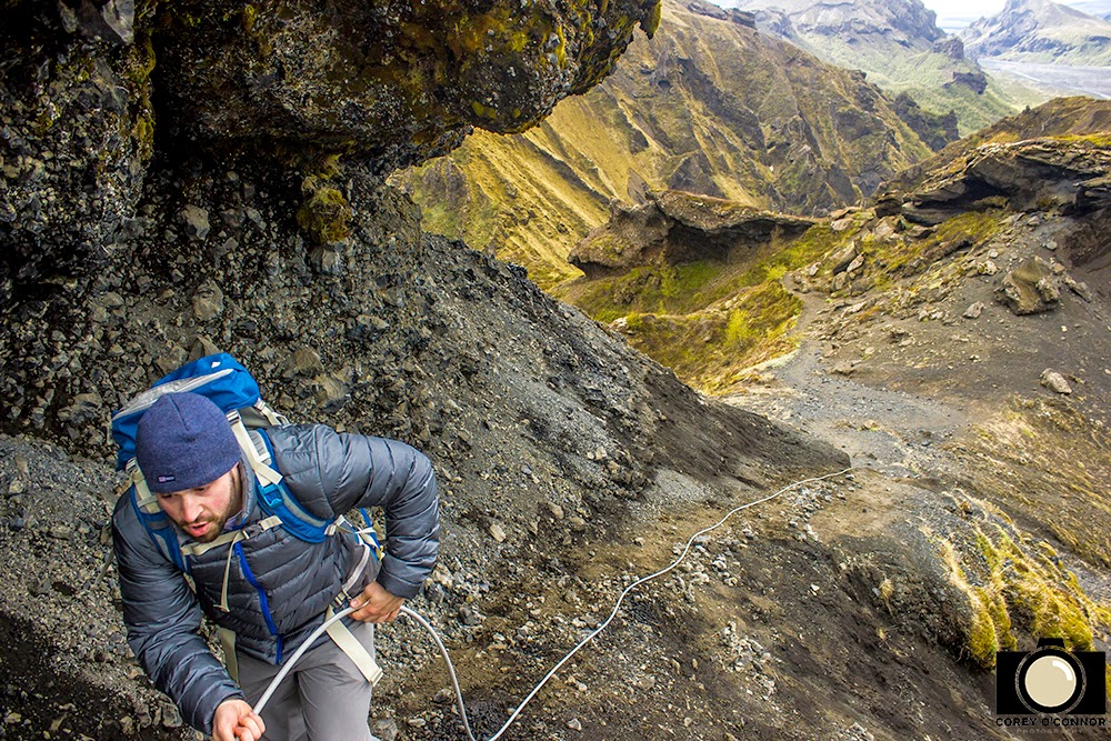
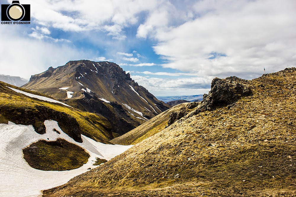
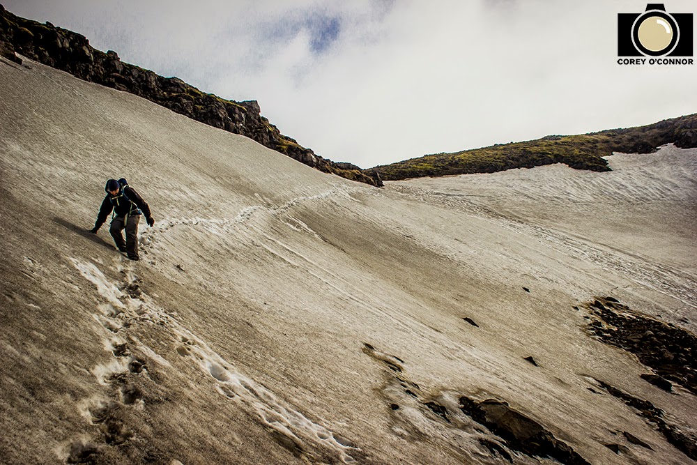
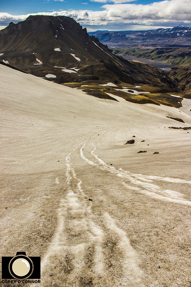
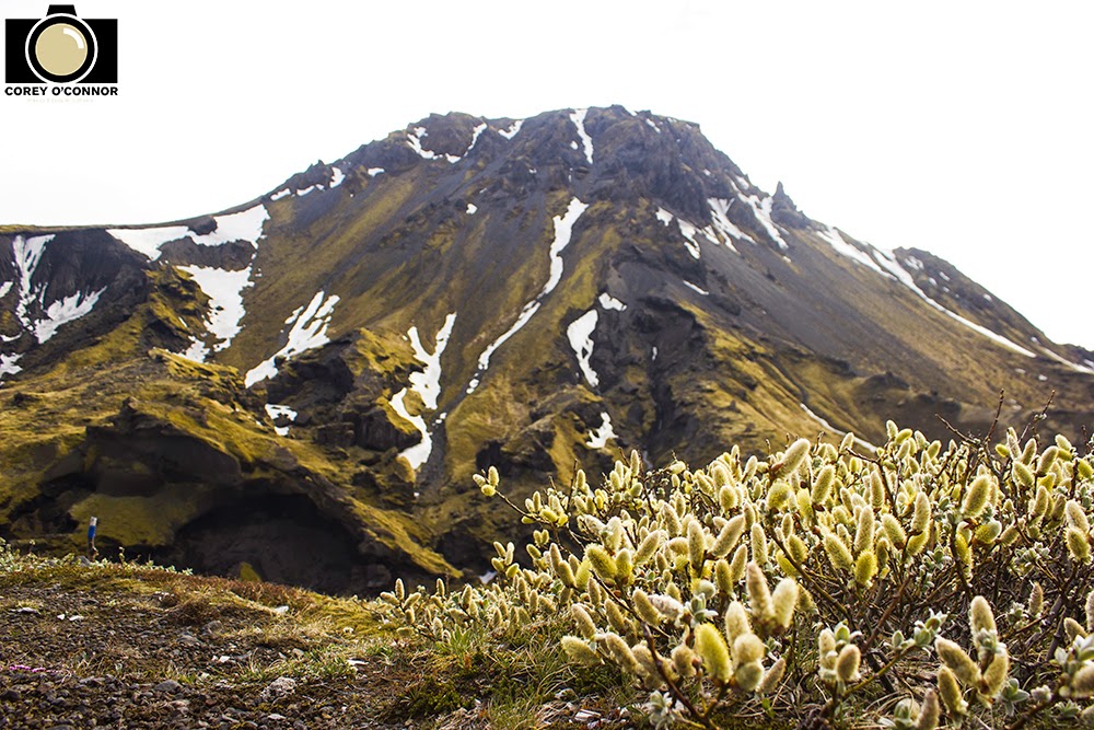
We made our way further up the side of the mountain and what used to be patches of snow now turned into a thick sheet of snow covering the 45 degree cliff face. We, very carefully, shimmy stepped up to the top of the ridge line, passing multiple sections of sheer snow/ice drifts on a very steep mountain slope. After reaching the top of the ridge the trail headed forward over an eerily flat plain of land covered in volcanic ash/mud and rocks spewn forth from the eruption. We made our way across this until we came to the cliff face on the opposite side.
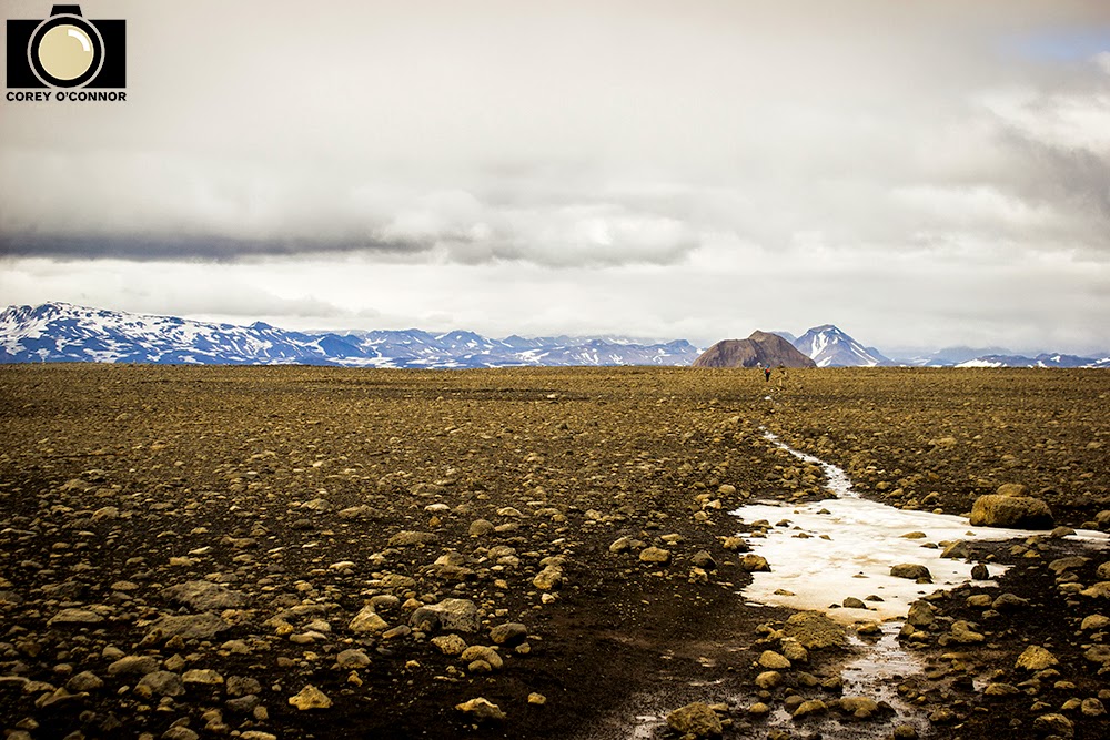 |
| Plateau-esque. |
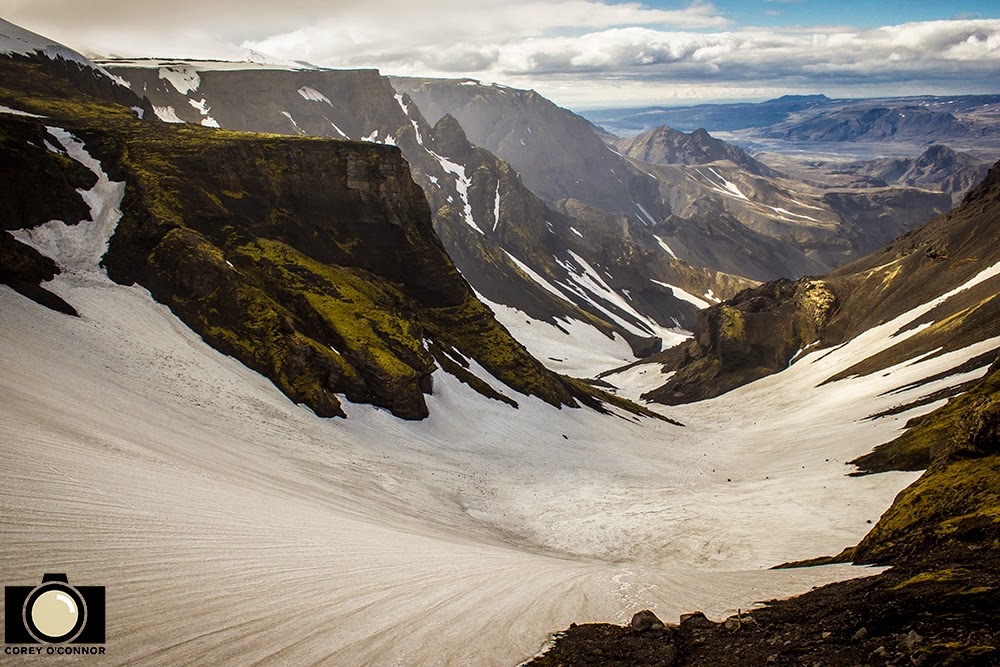
At this point we could see the trails trajectory as it headed strait up into the clouds and presumably into the blizzard like conditions we had been warned of. We decided to call it and turn back, and as we sat down to regroup and eat a snack, I noticed that there was a lot of smoke bellowing off the side of the mountain and realized it was the cooling lava that we had been looking for all along. It was awesome. Bucket-list worthy, and as we stared in wonder at it, I herd what sounded like a massive chunk of ice, break off of the nearby glacial tongue and go crashing down the side of the mountain. It was by far one of the most epic places I've been to, and I feel fortunate to have gotten the chance to see it.
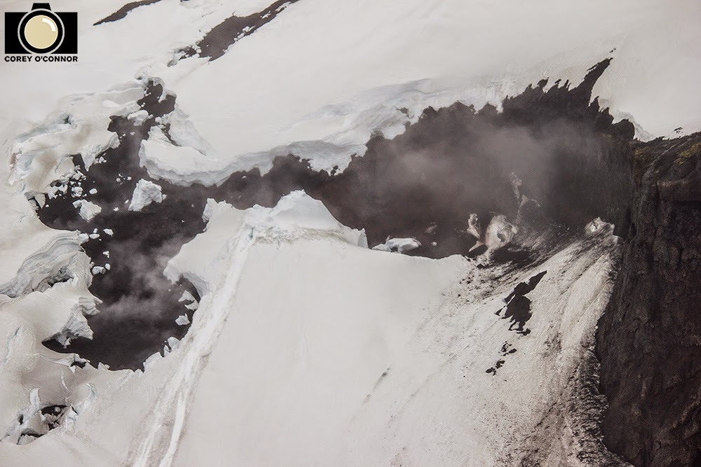 |
| Smoking Lava. |
We finally decided to leave, and after one final look we headed back across the lava plain, down over the pass, across the flood plain, and back into the valley of Thórsmörk That night we relaxed in a sauna, and cooked a ton of horrible food, including pasta we found on the sidewalk. On a trip filled with epic days, it was the highlight, and one of the best days of my life thus far.
Thanks for reading folks! Cheers!
Mileage: 10 Miles
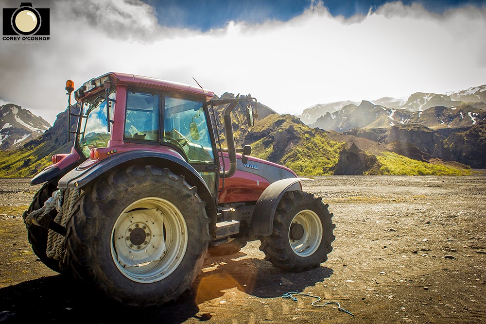 |
| Tractor Power. |
 |
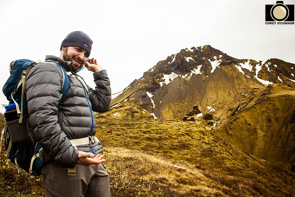
| Warming up. |
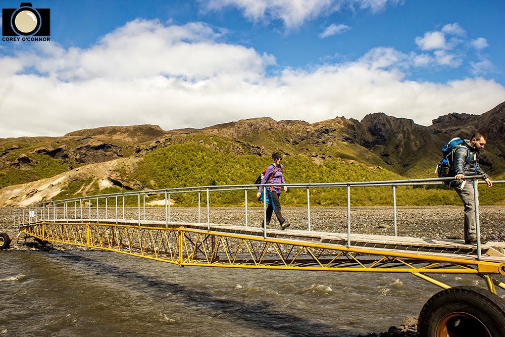 |
| Mobile Bridge. |
 |
| Bladder Malfunctions. |
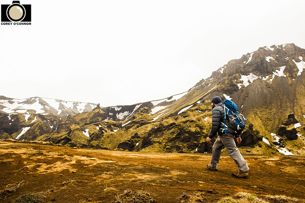 |
| The Trek. |
 |
| Knife's Edge. |
 |
| Yellows. |
 |
| Diversity. |
 |
| Down into the Bowl. |
 |
| Cool Picture. |
 |
| Awaiting Orders. |
 |
| Multiple Waterfalls. |
 |
| Attitude Sickness. |
 |
| Dropping into the Gulch. |
 |
| Dangerous Slip-n-Slide. |
 |
| The Trail Down. |
 |
| Plant Species. |
 |
| Spirit drained, but almost done. |
No comments:
Post a Comment